
下载 App 享优惠
此商品内容正在优化中,暂时无法完整显示您所选择的语言。
Product No. #619441
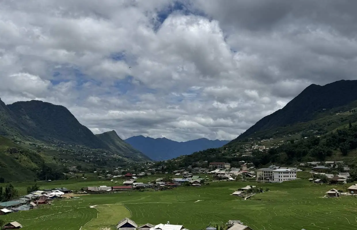


Sapa | Hikking through Villages & Terraced Fields — 2-Day Tour| Departure from Hanoi
12个小時内确认
行程时长:2 天
English / Español / Français / Tiếng Việt 导览
5天前可免费取消
现场请出示电子凭证与护照正本
- Three villages on foot, not from a bus window. Day 1 traces an 8–10km descent through the Mường Hoa valley — Y Linh Ho (1,330m) → Lao Chai → Ta Van (1,070m) — following terrace edges most day-tour visitors only see from above.
- A real H'Mong homestay in Ta Van, not a guesthouse. Dinner is cooked by the host family (rice, garden vegetables, pork or chicken), with communal sleeping in a working family home — the tour explicitly positions this as authentic over comfortable.
- Giang Ta Chai via the bamboo forest. Day 2's quieter trek — through dense, canopied bamboo forest — reaches a small, little-visited H'Mong settlement at the far end of the valley circuit, reached by very few other tour groups.
- Full ground-level immersion, not a highlight reel. The tour's own framing: standard Sa Pa day tours are "minibus, viewpoint, one village loop" — this is two full days walking inside the valley itself, sleeping in it overnight.
- The Unlock Challenge, included as with all Morning Vietnam tours — no GPS, no guide intervention, just the group reading a clue and acting on it together, somewhere in the Giang Ta Chai window.
选择方案

方案详情

商品说明
购买须知
注意事项
最少出团人数 1 人,当参加人数未达上述规定的最少成团人数时,将取消旅游行程,于出发日前 1 天发出取消旅游的 Email 通知。
因交通、天气等不可抗力因素所引起的时间延误,造成部份行程景点取消时,请您主动联络客服,我们将会为您办理部份退款。
若遇台风、暴风雪等天候不佳的情况,将于出发前 2 天(当地时间 09:00 )决定此团是否取消出发,之后将随时以电子邮件形式通知。
患有下列疾病或其他不宜受到过度刺激的旅客,請勿参加此项目: 高血压、心脏病、癫痫、怀孕妇女
请务必于 15 分钟前抵达指定地点,为避免耽误之后行程,逾时不候。
寻求协助


