
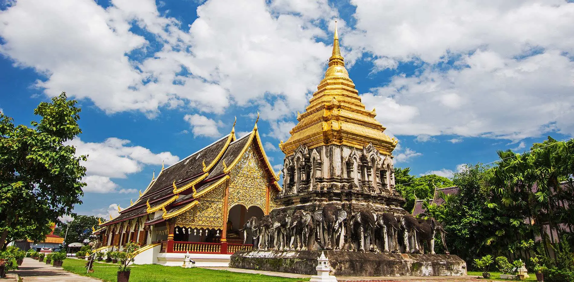
Top 1
Pha Hua Nak Viewpoint(จุดชมวิว ผาหัวนาค ชัยภูมิ)
Information
- Address:3W3X+G4C Pha Hua Nak Viewpoint, Unnamed Road, Tha Hin Ngom, Mueang Chaiyaphum District, Chaiyaphum 36000, Thailand
- Business hours:
Sunday: 6:00 AM – 6:00 PM
Monday: 6:00 AM – 6:00 PM
Tuesday: 6:00 AM – 6:00 PM
Wednesday: 6:00 AM – 6:00 PM
Thursday: 6:00 AM – 6:00 PM
Friday: 6:00 AM – 6:00 PM
Saturday: 6:00 AM – 6:00 PM - Recommendation: 4 stars
Top 2
Wichitchai waterpark(สวนน้ำวิชิตชัยวอเตอร์ปาร์ค)
Information
- Address:Wichitchai waterpark, Unnamed Rd,, Na Nong Thum, Kaeng Khro District, Chaiyaphum 36150, Thailand
- Business hours:
Sunday: 10:00 AM – 6:00 PM
Monday: 10:00 AM – 6:00 PM
Tuesday: 10:00 AM – 6:00 PM
Wednesday: 10:00 AM – 6:00 PM
Thursday: 10:00 AM – 6:00 PM
Friday: 10:00 AM – 6:00 PM
Saturday: 10:00 AM – 6:00 PM - Recommendation: 4 stars
Top 3
Tat Ton National Park(อุทยานแห่งชาติตาดโตน)
Tat Ton National Park is a national park in Chaiyaphum Province, Thailand. The park is in the Laen Kha mountain range. It features waterfalls and mountain highland scenery. On 31 December 1980, Tat Ton was designated Thailand's 23rd national park.
Wikipedia
Information
- Address:Tat Ton National Park, หมู่ที่ 1 35/4 Na Fai, Mueang Chaiyaphum District, Chaiyaphum 36000, Thailand
- Business hours:
Sunday: 8:30 AM – 6:00 PM
Monday: 8:30 AM – 6:00 PM
Tuesday: 8:30 AM – 6:00 PM
Wednesday: 8:30 AM – 6:00 PM
Thursday: 8:30 AM – 6:00 PM
Friday: 8:30 AM – 6:00 PM
Saturday: 8:30 AM – 6:00 PM - Recommendation: 4 stars
Top 4
ChulaBhorn Dam(เขื่อนจุฬาภรณ์)
Chulabhorn Dam is a dam in Tambon Thung Lui Lai, Khon San District, Chaiyaphum Province, Thailand. It impounds the Phrom River, a tributary of the Mekong. The dam has diverted the Nam Phrong River. As water leaves its turbines, it empties into the Choen River. The dam is named for Princess Chulabhorn of Thailand.
Wikipedia
Information
- Address:GJPX+5QF ChulaBhorn Dam, Khon San District, Chaiyaphum 36180, Thailand
- Business hours:
Sunday: 6:00 AM – 6:00 PM
Monday: 6:00 AM – 6:00 PM
Tuesday: 6:00 AM – 6:00 PM
Wednesday: 6:00 AM – 6:00 PM
Thursday: 6:00 AM – 6:00 PM
Friday: 6:00 AM – 6:00 PM
Saturday: 6:00 AM – 6:00 PM - Recommendation: 4 stars
Top 5
Pa Hin Ngam National Park(อุทยานแห่งชาติป่าหินงาม ชัยภูมิ)
Pa Hin Ngam is a national park in Chaiyaphum Province, Thailand. "Hin ngam" means "beautiful stone", "pa" means "forest". The park got its name from the strange rock formations at the west end of the park. Erosion has carved several large rocks into striking and unusual shapes. In 1985, the Tep Satit Forestry Department first surveyed the area, long popular with locals, and recommended its protection. In October 1986, Pa Hin Ngam Park was created, covering 10 km² around the strange rock formations which gave the park its name. In 1993, the Forestry Department of Thailand conducted a more thorough survey including the surrounding area, and recommended that it become a national park. The national park covering 112 km² was created on 19 September 1994, which was officially gazetted in 2007. The park is at the boundary of the Dong Phaya Yen Mountains and the Khorat Plateau. The steep cliff at the 846 m high Sut Phan Din viewpoint affords a view into a valley of the Sonthi River and the Sap Langka Wildlife Sanctuary. The name "Sut Phan Din" means "end of land", reflecting the steepness of the cliff. This cliff also marks the watershed between the Chao Phraya and the Mekong rivers.
Wikipedia
Information
- Address:Pa Hin Ngam National Park, หมู่ 9 Ban Rai, Thep Sathit District, Chaiyaphum 36230, Thailand
- Business hours:
Sunday: 6:00 AM – 6:00 PM
Monday: 6:00 AM – 6:00 PM
Tuesday: 6:00 AM – 6:00 PM
Wednesday: 6:00 AM – 6:00 PM
Thursday: 6:00 AM – 6:00 PM
Friday: 6:00 AM – 6:00 PM
Saturday: 6:00 AM – 6:00 PM - Recommendation: 4 stars
Top 6
Sai Thong National Park(อุทยานแห่งชาติไทรทอง)
Sai Thong National Park is a national park in Thailand's Chaiyaphum Province. This mountainous park features waterfalls, scenic viewpoints, and a seasonal flower field.
Wikipedia
Information
- Address:Sai Thong National Park, อุทยานแห่งชาติไทรทอง 81 หมู่ที่10 ถนน โยธาธิการ Wang Takhe, Nong Bua Rawe District, Chaiyaphum 36250, Thailand
- Business hours:
Sunday: 8:00 AM – 4:30 PM
Monday: 8:00 AM – 4:30 PM
Tuesday: 8:00 AM – 4:30 PM
Wednesday: 8:00 AM – 4:30 PM
Thursday: 8:00 AM – 4:30 PM
Friday: 8:00 AM – 4:30 PM
Saturday: 8:00 AM – 4:30 PM - Recommendation: 4 stars
Top 7
Lahan(ละหาน)
Information
- Address:Lahan, Chatturat District, Chaiyaphum 36130, Thailand
- Recommendation: 4 stars


